

A drain mapping survey establishes how accessible drainage connects across a property. We relate underground runs to chambers and surface features, helping owners understand an unfamiliar system. Old drawings are useful context, but alterations can leave them out of date.
Drain Mapping Survey
Drain mapping surveys to establish accessible drainage runs, connections and surface positions.
HomeDrain Mapping SurveyDrain Mapping Survey enquiry
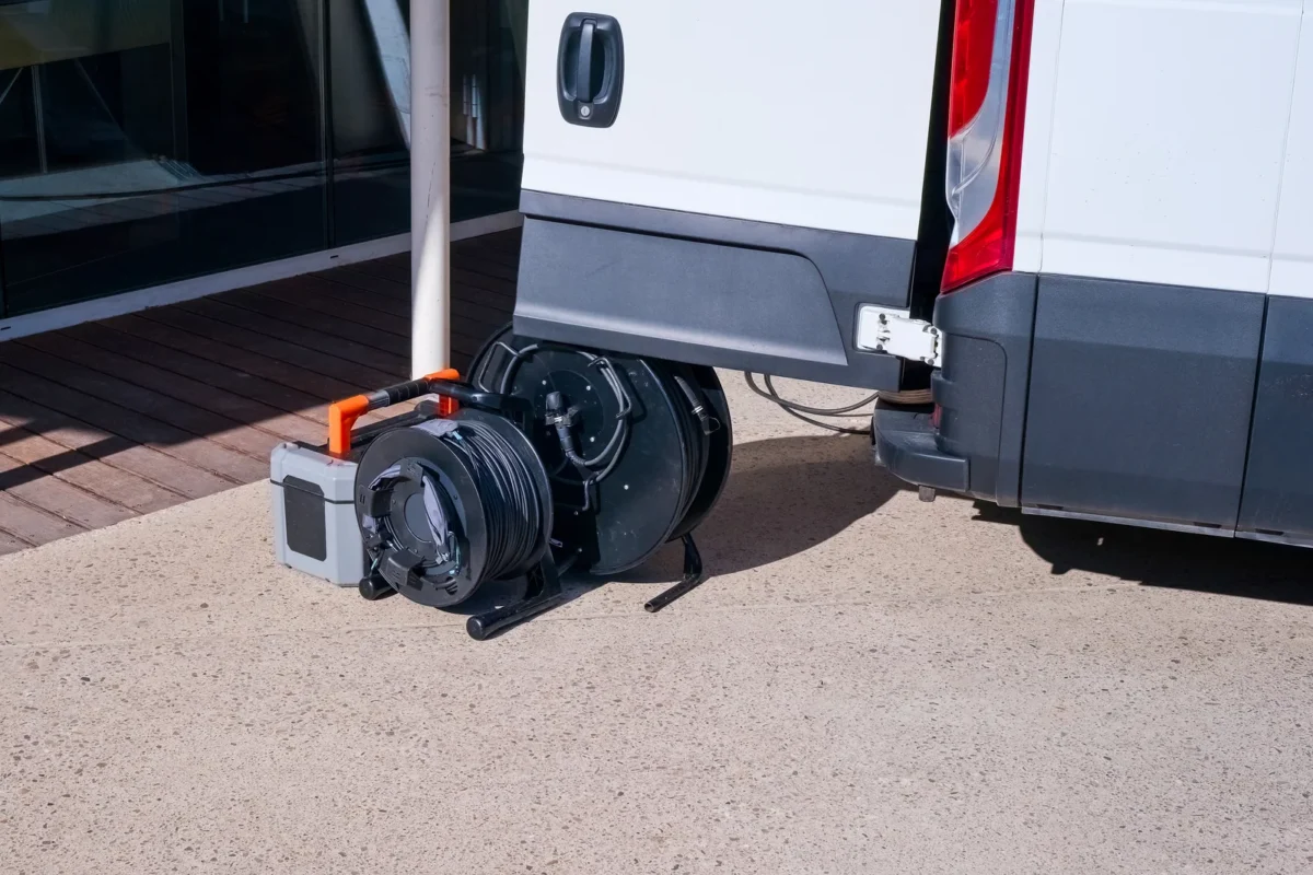
Mapping, tracing and measurement
Tracing can associate a pipe with a surface position, subject to access and equipment limits.
Using the map for repairs
Untraced connections should remain identified as unknown rather than appear as confirmed routes.
Drain tracing and measurement
Camera inspection shows the inside of a run; suitable locating equipment can help trace its position from the surface. Chamber observations add connection and flow-direction information. A simple drainage sketch does not automatically include surveyed levels or coordinates. Those measurements need to be included when the intended use requires them.
Discuss a drain mapping survey
Complete the form and we will get back to you.
Using a drain map for repairs
We link condition findings to the mapped drainage and identify anything that has not been confirmed. This gives a usable reference for locating repeated problems or planning a repair. Drain mapping is not a substitute for locating unrelated underground utilities before excavation, and an uncertain connection should not be drawn as established fact.
Unconfirmed connections and branches
The map distinguishes observed connections from routes inferred because chambers appear to line up. Unreachable branches and changes from older drawings are marked as unconfirmed rather than shown as verified.
Drain Mapping Survey: common questions
Is a drain map the same as CCTV footage?
A map describes routes and connections. Video shows the inside of the sections inspected.
Will the map include accurate levels?
Levels require the appropriate measurements to be included. A simple maintenance sketch may not contain them.
Can it replace a buried-services survey?
Other buried services need separate locating checks. A drain map does not identify every cable or utility pipe.
Will a mapping survey include condition defects?
Only where condition inspection forms part of the agreed work; mapping and condition reporting serve different purposes.
Can the map establish sewer ownership?
It can describe connections, but ownership also depends on the relevant network arrangements and property information.